s
c
r
o
e
r
Join our community
interestingasfuck
@BetaKeyTakeaway
Source
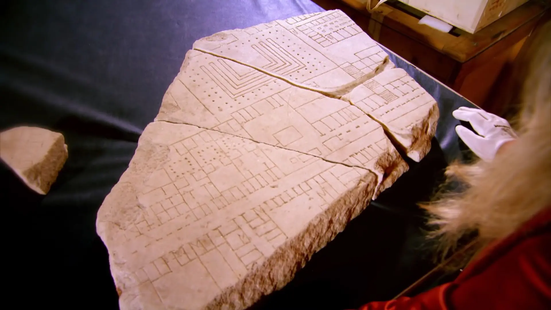
Ancient Romans around 200 AD made a satellite view map of ancient Rome. Made of marble at a scale ~1:240 it filled an entire wall. Many fragments survive, showing temples, theaters, baths, insulae and the network of streets lined with small shops.
0
0
Auto
More like this
Home
Discover
Upload
Collection
Login